
Know this place? Share your best photos of Færder and help travelers discover Norway. Submit your photos →
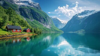
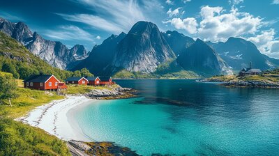
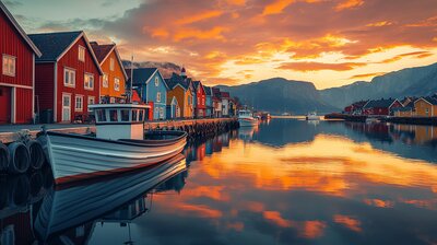
Færder is Vestfold’s archipelago ace — a municipality where lighthouses double as overnight stays, kayaks outnumber cars, and the local national park includes more ocean than land. With around 27,000 residents and over 650 islands and skerries, Færder is the kind of place where you can hike to a Bronze Age cairn, snorkel past seaweed forests, and still make it back for scallops at a harbor café. It’s got fjords, forts, and a landmark called Verdens Ende — because of course it does.
Top Attractions
- Verdens Ende – iconic viewpoint with tipping lantern & national park visitor center
- Færder Lighthouse – 1857 beacon on Tristein island with panoramic sea views
- Fulehuk Lighthouse – historic site turned coastal retreat
- Moutmarka – coastal hiking area with rare flora & WWII relics
- Bolærne Islands – ferry-access archipelago with beaches, bunkers & birdlife
Unique Experiences
- Kayak Route Network – mapped paddling trails with shelters & sea views
- Villa Veierland – curated café & shop on a car-free island
- Paradisbukta – family-friendly cove with shallow waters & picnic spots
- Compass Rose at Østre Bolæren – 16th-century stone carving for pilots
- WWII Prison Camp Ruins – Mellom-Bolæren’s hidden history
Where to Stay
Browse hotels, cabins & guesthouses in Færder
More searches: Booking.com · Hotels.com · Expedia · Agoda · Vrbo
Where to Eat
Explore top-rated restaurants in Færder
Guided Tours
Search for guided tours in Færder
Getting There
Færder is about 90 minutes south of Oslo via the E18, with train and bus connections to Tønsberg. Ferries run to Bolærne and Veierland, and bike paths link the mainland to Verdens Ende. The area is best explored by boat, boots, or bold curiosity — especially if you’re chasing lighthouses, lobsters, or the perfect sunset over the Oslofjord.