
Know this place? Share your best photos of Kvænangen and help travelers discover Norway. Submit your photos →
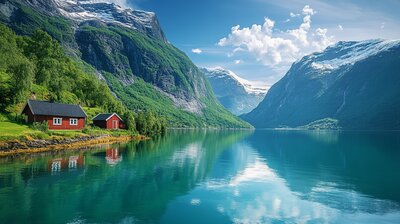
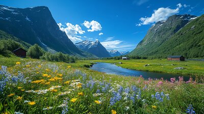
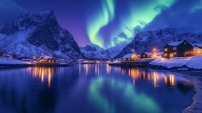
Kvænangen is Troms’s glacier-framed cultural mosaic — a municipality where harebells bloom beside salmon rivers, WWII bunkers overlook fjords, and the midnight sun ripens berries in valleys once settled by Kvens and Sami. With around 1,150 residents and a landscape shaped by Øksfjordjøkelen glacier, pine forests, and the Kvænangen fjord, Kvænangen is the kind of place where you can hike to ancient rock carvings, kayak past seals and sea eagles, and still catch a slice of national cake in a village café. It’s got depth, dignity, and a name that comes from Old Norse *Kvenangr* — “fjord of the Kven people.”
Top Attractions
- Trastad Samlinger – outsider art museum in a former care institution
- Hemmestad Brygge – 19th-century trading post turned heritage museum
- Kvænangen Church – 1867 wooden church with fjord views and historic graveyard
- Kvænangsbotn – vast protected area with waterfalls, valleys & glacier-fed rivers
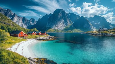
- Skorpa Island – WWII history, church ruins & panoramic fjord views
Unique Experiences
- Verddefestivalen – summer festival with music, food & market in Burfjord
- Kvænangen National Cake – taste the famous “Kvæfjordkake” with meringue & vanilla cream
- Sea Safari – boat tours to spot seals, otters & white-tailed eagles
- WWII Bunker Trail – hike past coastal defenses and windswept pastures
- Rock Carvings at Jøkelfjord – prehistoric petroglyphs near the fjord shore
Where to Stay
Search hotels, cabins & guesthouses in Kvænangen
More searches: Booking.com · Hotels.com · Expedia · Agoda · Vrbo
Where to Eat
Explore top-rated restaurants in Kvænangen
Getting There
Kvænangen lies in Nord-Troms, with Burfjord as its administrative center. The E6 highway crosses the Sørstraumen Bridge and Kvænangsfjellet pass, offering dramatic fjord views. Buses run to Alta, Nordreisa, and Skjervøy. The area is best explored by car, boots, or boat — especially if you’re chasing glacier echoes, cultural layers, or the hush of pine needles under a midnight sun.