
Know this place? Share your best photos of Lødingen and help travelers discover Norway. Submit your photos →
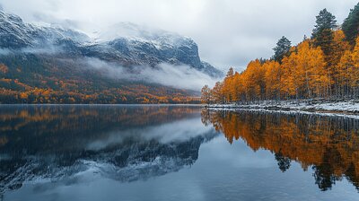
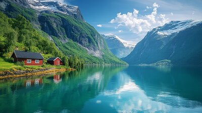
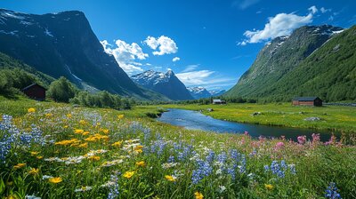
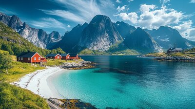
Lødingen is Nordland’s maritime gateway — a municipality where fjords meet ferry routes, mountain trails lead to national parks, and a five-looped knot graces the coat of arms to symbolize its role as a regional connector. With around 2,000 residents and a landscape shaped by Hinnøya island, Vestfjorden, and Møysalen National Park, Lødingen is the kind of place where you can hike to Arctic summits, explore WWII bunkers, and still catch a reindeer kebab beside a lighthouse. It’s got grit, gateways, and a name that may stem from Old Norse Lǫðueng — “barn meadow.”
Top Attractions
- Lødingen Church – 1897 neo-Gothic church with Edvard Munch–inspired altar painting
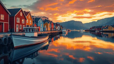
- Lødingen Lighthouse – scenic beacon on Øksfjorden island
- Lødingen Bygdetun – open-air museum with historic buildings & cultural exhibits
- Møysalen National Park – alpine hikes to 1,262 m summit & fjord views
- Grønelva Fossefall – waterfall hike with lake views & picnic spots
Unique Experiences
- Lødingen Festival – summer music & food celebration with local crafts
- AdventureLand Lødingen – guided hikes, ski tours & bike adventures
- Li-bab – reindeer kebab with lingonberry sour cream & flatbread
- WWII Bunker Tours – explore coastal defenses & wartime history
- Havnebørsen Bar – local pub with fjord views & live music
Where to Stay
Search hotels, cabins & guesthouses in Lødingen
More searches: Booking.com · Hotels.com · Expedia · Agoda · Vrbo
Where to Eat
Explore top-rated restaurants in Lødingen
Guided Tours
Search for guided tours in Lødingen
Getting There
Lødingen lies on the southeastern tip of Hinnøya, Norway’s largest island, with ferry connections to Bognes and road access via the E10 and RV85. Buses run to Sortland, Harstad, and Evenes Airport. The area is best explored by boots, boat, or bike — especially if you’re chasing summit views, lighthouse lore, or the hush of birch leaves beside a five-looped knot.