
Know this place? Share your best photos of Lom and help travelers discover Norway. Submit your photos →
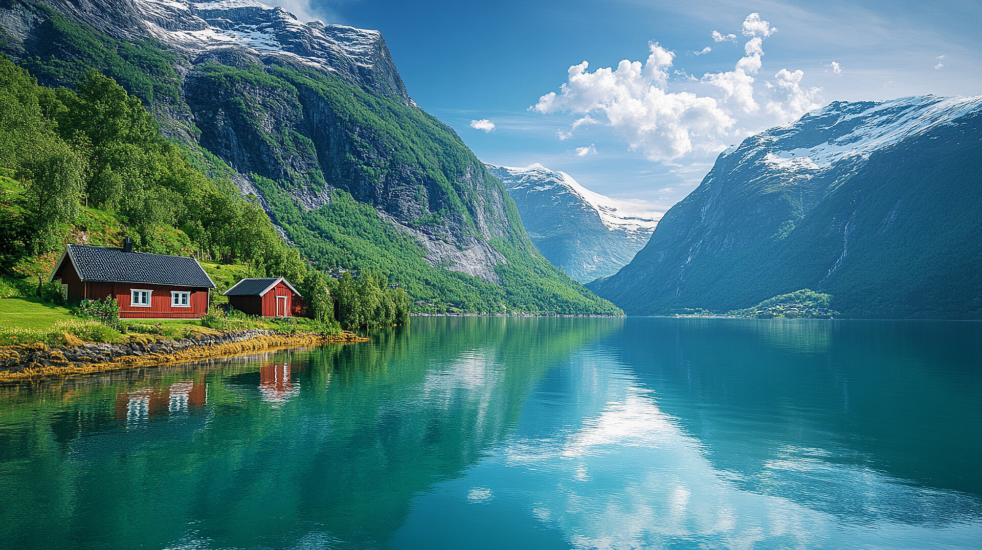
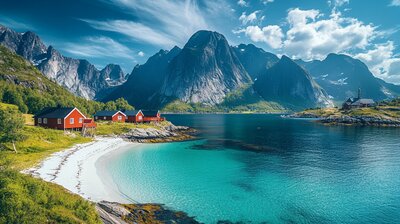
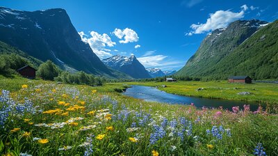
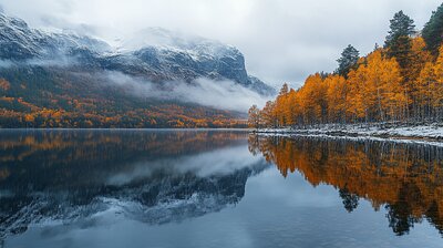
Lom is Innlandet’s alpine gateway — a municipality where stave churches whisper medieval tales, glaciers carve valleys beneath Norway’s highest peaks, and bakeries serve sourdough beside roaring waterfalls. With around 2,200 residents and a landscape shaped by the Jotunheimen mountains, Bøverdalen valley, and the Ottadalen basin, Lom is the kind of place where you can hike to Galdhøpiggen, explore Viking-era trade routes, and still catch a museum exhibit on melting ice revealing ancient artifacts. It’s got altitude, archaeology, and a name that may stem from Old Norse *ló* — “meadow.”
Top Attractions
- Lom Stave Church – built in 1158, one of Norway’s largest & best-preserved stave churches
- Galdhøpiggen – Norway’s highest mountain at 2,469 m with guided glacier hikes
- Norwegian Mountain Center – interactive museum with mammoths, fjellviking finds & climate exhibits
- Fossheim Steinsenter – geology museum & shop with minerals, fossils & jewelry
- Sognefjellsvegen – scenic mountain pass & National Tourist Route through Jotunheimen
Unique Experiences
- Juvasshytta Glacier Hike – rope-guided trek across snowfields to Galdhøpiggen summit
- Presthaugen Open-Air Museum – historic farm buildings & St. Olav’s overnight cottage
- Li-bab – local reindeer kebab with lingonberry sour cream & flatbread
- Stabbur Shopping – browse traditional storehouses for crafts, wool & local food
- Elveseter Saga Column – 34-meter sculpture depicting Norwegian history in heroic reliefs
Where to Stay
Search hotels, cabins & guesthouses in Lom
More searches: Booking.com · Hotels.com · Expedia · Agoda · Vrbo
Where to Eat
Explore top-rated restaurants in Lom
Guided Tours
Search for guided tours in Lom
Getting There
Lom lies in the Ottadalen valley, with Fossbergom as its administrative center. The RV15 highway connects to Geiranger, Otta, and Sogndal. Buses run to Bøverdalen, Garmo, and Elveseter. The area is best explored by boots, bike, or boat — especially if you’re chasing glacier echoes, stave silhouettes, or the hush of birch leaves under a midnight sun.