
Know this place? Share your best photos of Nord-Odal and help travelers discover Norway. Submit your photos →
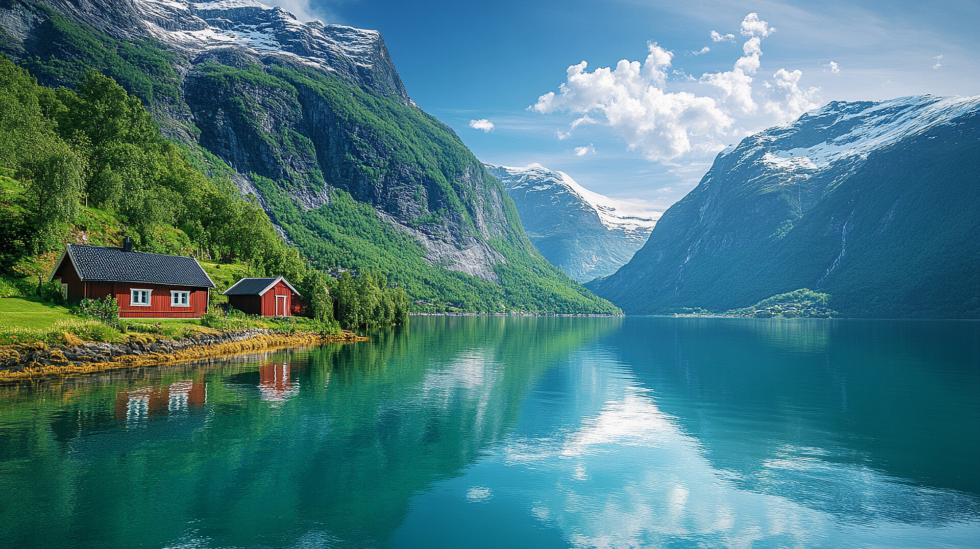
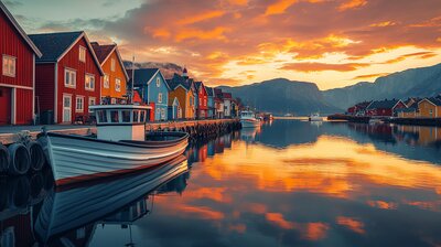
Nord-Odal is Innlandet’s forest-framed lake basin — a municipality where canoe paddles ripple through island-dotted waters, hiking trails trace cultural legends, and timber grapples decorate the coat of arms. With around 5,000 residents and a landscape shaped by Lake Storsjøen, the Glomma River, and the villages of Sand, Knapper, and Mo, Nord-Odal is the kind of place where you can explore old mines, walk love-themed trails, and still catch a paddle stroke beside a WWII monument. It’s got grit, greenery, and a name that means “northern valley of the river.”
Top Attractions
- Trautgruva – historic iron mine with forest setting & local lore
- Kjærlighetsstien – “Love Trail” with scenic lake views & romantic legends
- Minnessten “Je Veit Ei Lita Jente” – WWII memorial stone with poetic inscription
- Austvassåa Cultural Trail – heritage hiking route with interpretive signs
- Odal Kano og Fritid – canoe & kayak rentals on Lake Storsjøen
Unique Experiences
- Sand Church – 1891 neo-Gothic church with hillside cemetery & fjord backdrop
- Trøftskogen Chapel – 1931 forest chapel with rustic charm
- Årkjølen Summit – highest peak in Nord-Odal (641 m) with panoramic views
- Storsjøen Island Hopping – paddle to hidden beaches & birdwatching spots
- Timber Grapple History – learn about the patented grapple tool invented by Nell Gravlie in 1928
Where to Stay
Search hotels, cabins & guesthouses in Nord-Odal
More searches: Booking.com · Hotels.com · Expedia · Agoda · Vrbo
Where to Eat
Explore top-rated restaurants in Nord-Odal
Guided Tours
Search for guided tours in Nord-Odal
Getting There
Nord-Odal lies northeast of Oslo, with Sand as its administrative center. The RV209 and RV24 highways provide access, and buses serve Mo, Knapper, and Austvatn. The area is best explored by boots, boat, or bold curiosity — especially if you’re chasing timber lore, lake echoes, or the hush of birch leaves beside a love trail.