
Know this place? Share your best photos of Østre Toten and help travelers discover Norway. Submit your photos →
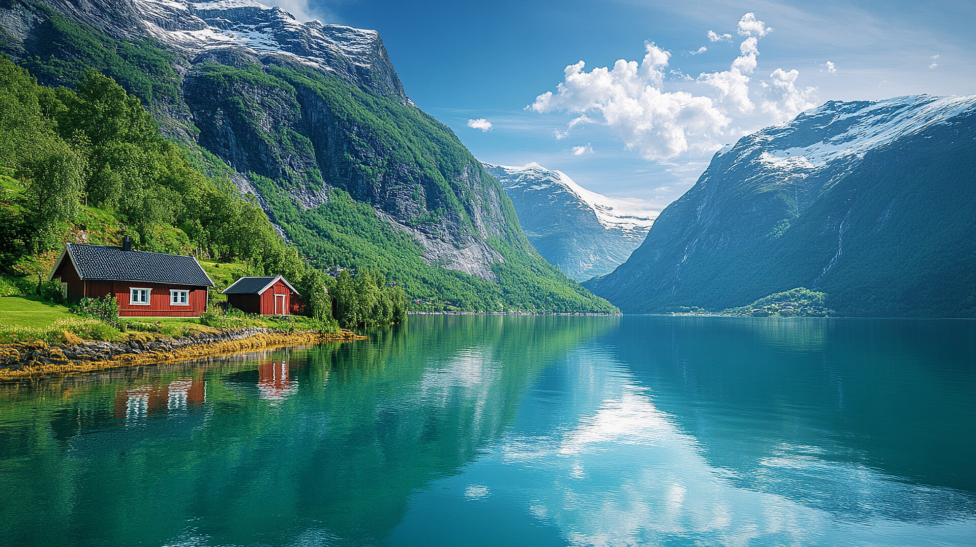
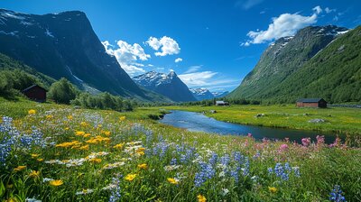
Østre Toten is Innlandet’s potato-rooted ridge basin — a municipality where fields ripple with onions and spuds, lake breezes stir baroque gardens, and a silver potato plant sprouts across the coat of arms. With around 14,900 residents and a landscape shaped by Lake Mjøsa, Totenåsen, and the villages of Lena, Skreia, Kapp, Kolbu, and Totenvika, Østre Toten is the kind of place where you can hike past Viking stones, explore language history, and still sip spruce cordial beside a manor painted by Norway’s first romantic landscape artist. It’s got crops, culture, and a name that means “eastern part of Toten.”
Top Attractions
- Peder Balke-senteret – 1700s manor with wall paintings, baroque park & café
- Fredholm Hageopplevelser – romantic cottage garden in Totenvika
- Grytenholm Isigard – Icelandic horse farm with scenic riding tours
- Mjøsmuseet – local history museum with archives & exhibitions
- Mjøsas Ark – museum in Kapp with Viking sword, rock carvings & eco exhibits
- Norsk Hestesenter – national horse center at Starum with breeding & training
Unique Experiences
- Totenåsen Trails – hiking & skiing routes through forested hills
- Boardwalk from Kapp to Peder Balke – lakeside stroll with views & sculptures
- Kolbu Church – 1730 timber church with medieval roots
- Totenvika Pilgrim Route – part of the 60 km trail network through Skreia
- Torsætra Café – traditional food stop in the hills with local specialties
Where to Stay
Search hotels, cabins & guesthouses in Østre Toten
More searches: Booking.com · Hotels.com · Expedia · Agoda · Vrbo
Where to Eat
Explore top-rated restaurants in Østre Toten
Guided Tours
Search for guided tours in Østre Toten
Getting There
Østre Toten lies southeast of Gjøvik, with Lena as its administrative center and Kapp as its lakeside heart. Reach it via Rv33 from Minnesund or Gjøvik, or by train to Eina Station. The area is best explored by boots, bike, or bold curiosity — especially if you’re chasing potato echoes, fjord lore, or the hush of pine needles beside a painting that once stirred a nation’s soul.