
Know this place? Share your best photos of Rælingen and help travelers discover Norway. Submit your photos →
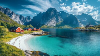
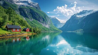
Rælingen is Viken’s pitchfork-framed forest basin — a municipality where waffles are served beside birdwatching towers, ski trails carve through pine valleys, and a golden three-pronged fork marks the coat of arms. With around 16,200 residents and a landscape shaped by the Øyeren lake, Nitelva river, and the villages of Fjerdingby, Løvenstad, and Nordby, Rælingen is the kind of place where you can hike past WWII hideouts, explore stave church ruins, and still catch a cinnamon bun beside a climbing crag. It’s got nature, nuance, and a name that may stem from an old district word — though its meaning remains a mystery.
Top Attractions
- Marikollen Ski Centre – alpine slopes, terrain park & cross-country trails
- Rælingen Bygdetun – open-air museum with historic buildings & cultural events
- Rælingen Church – medieval-style church with local heritage
Unique Experiences
- Utsiktstårn Kjerringhøgda – panoramic forest views from a scenic lookout tower
- Milorghula Cave – WWII weapons hideout tucked in a ravine
- Mariholtet Café – waffles, cinnamon buns & lake views in Østmarka
- Losby Gårdskafé – cozy farm café with coffee, cake & family-friendly trails
- Hauktjern Climbing Crag – 200+ climbing routes from beginner to expert
Where to Stay
Search hotels, cabins & guesthouses in Rælingen
More searches: Booking.com · Hotels.com · Expedia · Agoda · Vrbo
Where to Eat
Explore top-rated restaurants in Rælingen
Guided Tours
Search for guided tours in Rælingen
Getting There
Rælingen lies just east of Lillestrøm, with Fjerdingby as its administrative center. The E6 and Østfold railway line provide easy access, and buses connect to Oslo, Lørenskog, and Enebakk. The area is best explored by boots, bike, or bold curiosity — especially if you’re chasing pitchfork echoes, waffle lore, or the hush of birch leaves beside a WWII cave.