
Know this place? Share your best photos of Rakkestad and help travelers discover Norway. Submit your photos →
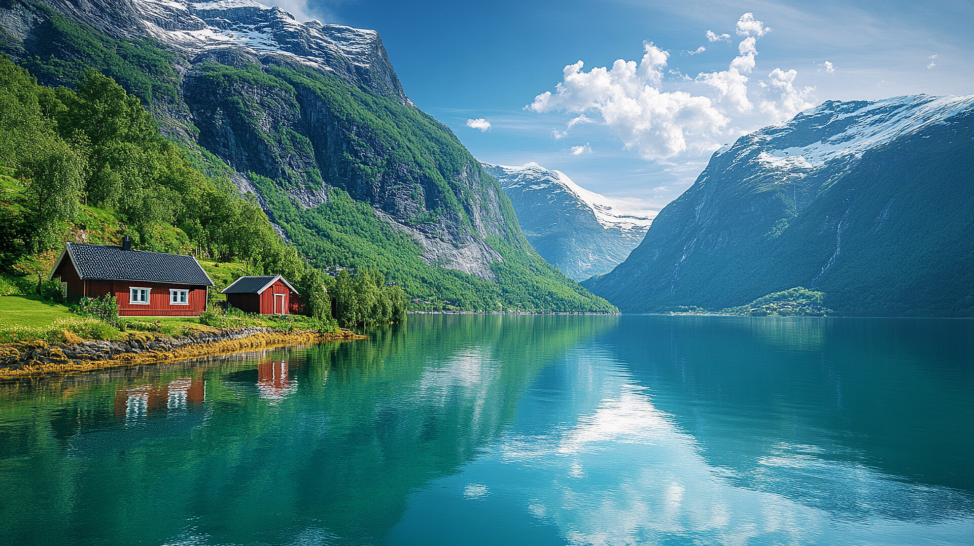
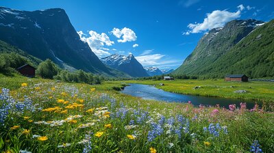
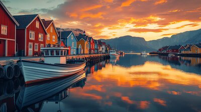
Rakkestad is Østfold’s grain-gilded heritage basin — a municipality where WWII artifacts fill glass cases, go-karts race through forest curves, and bog myrtle leaves curl across the coat of arms. With around 7,600 residents and a landscape shaped by the Glomma River, Degernes hills, and the villages of Os, Rakkestad, and Rudskogen, Rakkestad is the kind of place where you can hike past fire towers, fish for 20 freshwater species, and still catch a skydiving course beside a motorsport track. It’s got farmland, folklore, and a name that may stem from the Old Norse *Rakki* — “the bold one.”
Top Attractions
- Vestre Knolden Gard – family-friendly farm with animals, shop & nature trails
- Hjemmefront Museum – WWII resistance museum with 4,000+ artifacts
- Rakkestad Church – medieval stone church with Romanesque details
- Motormuseet i Degernes – microcars, motorcycles & mechanical oddities
- Rudskogen Motorsenter – Norway’s national motorsport hub with karting & racing
Unique Experiences
- Linnekleppen Fire Tower – hike to Norway’s last staffed fire lookout with panoramic views
- Nimbus Skydiving – tandem jumps & courses from Rakkestad Airport
- Rakkestad Bygdetun – open-air museum with historic buildings & cultural events
- Fishing in Glomma & Rakkestad River – 20+ freshwater species with jetty access & licenses
- Fagerås Feriekoloni – paintball & adrenaline activities in forest terrain
Where to Stay
Search hotels, cabins & guesthouses in Rakkestad
More searches: Booking.com · Hotels.com · Expedia · Agoda · Vrbo
Where to Eat
Explore top-rated restaurants in Rakkestad
Guided Tours
Search for guided tours in Rakkestad
Getting There
Rakkestad lies northeast of Sarpsborg, with County Road 22 and Rv124 connecting to Halden and Aremark. Trains run from Oslo to Rakkestad Station, and buses serve Degernes, Os, and Rudskogen. The area is best explored by boots, bike, or bold curiosity — especially if you’re chasing fire tower echoes, karting lore, or the hush of birch leaves beside a WWII display case.