
Know this place? Share your best photos of Suldal and help travelers discover Norway. Submit your photos →
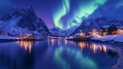
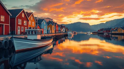
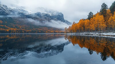
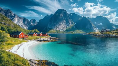
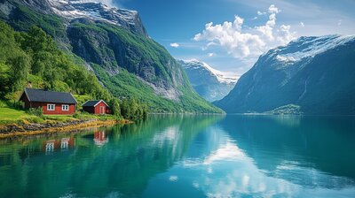
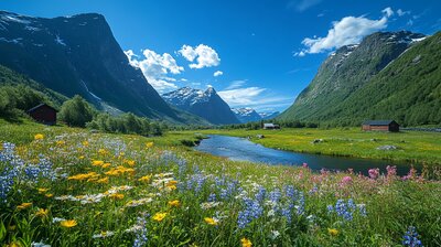
Suldal is Rogaland’s salmon-streamed mountain basin — a municipality where fjords carve deep into the land, hydropower shapes architecture, and three golden waves crest the coat of arms. With around 3,800 residents and a landscape shaped by the Suldalslågen River, Sandsfjord, and the villages of Sand, Nesflaten, Jelsa, and Suldalsosen, Suldal is the kind of place where you can hike past waterfalls, snorkel with salmon, and still sip cider beside a 13th-century storehouse. It’s got fjords, fish, and a name that may stem from *súla* — “pillar,” like the dramatic Suldalsporten pass.
Top Attractions
- Salmon Studio – underwater viewing of wild salmon at Sandsfossen
- Kolbeinstveit – living museum farm with 1850s buildings & Guggedal loft
- Høsebrua – award-winning pedestrian bridge over roaring river
- Flesåna Waterfall – dramatic roadside cascade in Brattlandsdalen
- Ryfylke Museum – cultural heritage sites across the municipality
Unique Experiences
- Salmon Safari – float down Suldalslågen in a dry suit with snorkel & mask
- Hebnes Vineyard – wine tasting at Fjord Norway’s only vineyard
- Blåsjø Dam – Norway’s largest dam facility with scenic hikes
- Architectural Route – drive past modern & historic hydropower landmarks
- Jelsa Church & School Museum – Renaissance church & 1774 schoolhouse
Where to Stay
Search hotels, cabins & guesthouses in Suldal
More searches: Booking.com · Hotels.com · Expedia · Agoda · Vrbo
Where to Eat
Explore top-rated restaurants in Suldal
Guided Tours
Search for guided tours in Suldal
Getting There
Suldal lies northeast of Stavanger, along the Norwegian Scenic Route Ryfylke. Sand is the administrative center, and the area is best explored by boots, boat, or bold curiosity — especially if you’re chasing salmon echoes, fjord lore, or the hush of pine needles beside a museum farm.