
Know this place? Share your best photos of Midtre Gauldal and help travelers discover Norway. Submit your photos →
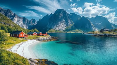
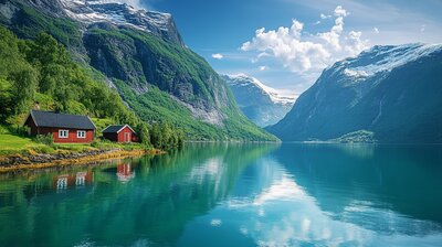
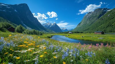
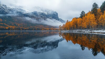
Midtre Gauldal is Trøndelag’s valley-crossed junction — a municipality where salmon leap through glacier-fed rivers, copper smelters echo industrial heritage, and Olympic ski trails wind past Viking burial mounds. With around 6,100 residents and a landscape shaped by the Gaula River, Forollhogna National Park, and the villages of Støren, Singsås, Soknedal, and Budal, Midtre Gauldal is the kind of place where you can zipline over waterfalls, hike to Sami sacrificial lakes, and still catch a reindeer kebab beside a Y-shaped church. It’s got grit, greenery, and a name that means “the middle part of Gauldalen.”
Top Attractions
- Gaula Natursenter – visitor center with salmon exhibits, nature trails & local crafts
- Storbekkøya Museumsseter – open-air museum with 19th-century buildings & farm animals
- Forollsjøen – mountain lake with archaeological finds & hiking trails
- Horg Bygdatun – traditional farmstead with picnic benches & cultural events
- Rypetoppen Adventurepark – 28 zip lines, climbing trails & lake crossings
Unique Experiences
- Budal Church – rare Y-shaped church from 1754 with timber architecture
- Norway Husky Adventure – sled tours with Alaska huskies through mountain wilderness
- Li-bab – local reindeer kebab with lingonberry sour cream & flatbread
- Kopperå Industrimuseum – copper smelting heritage in a 1915 power station
- Brudesløret Waterfall – dramatic cascade near the Swedish border with nature trail access
Where to Stay
Search hotels, cabins & guesthouses in Midtre Gauldal
More searches: Booking.com · Hotels.com · Expedia · Agoda · Vrbo
Where to Eat
Explore top-rated restaurants in Midtre Gauldal
Guided Tours
Search for guided tours in Midtre Gauldal
Getting There
Midtre Gauldal lies along the E6 highway and Dovrebanen railway, with Støren as its administrative center. Train stations include Støren, Singsås, Soknedal, and Budal. Buses run to Rognes, Enodden, and Teveldalen. The area is best explored by boots, bike, or sled — especially if you’re chasing salmon echoes, copper lore, or the hush of birch leaves beside a Y-shaped church.