
Know this place? Share your best photos of Øyer and help travelers discover Norway. Submit your photos →
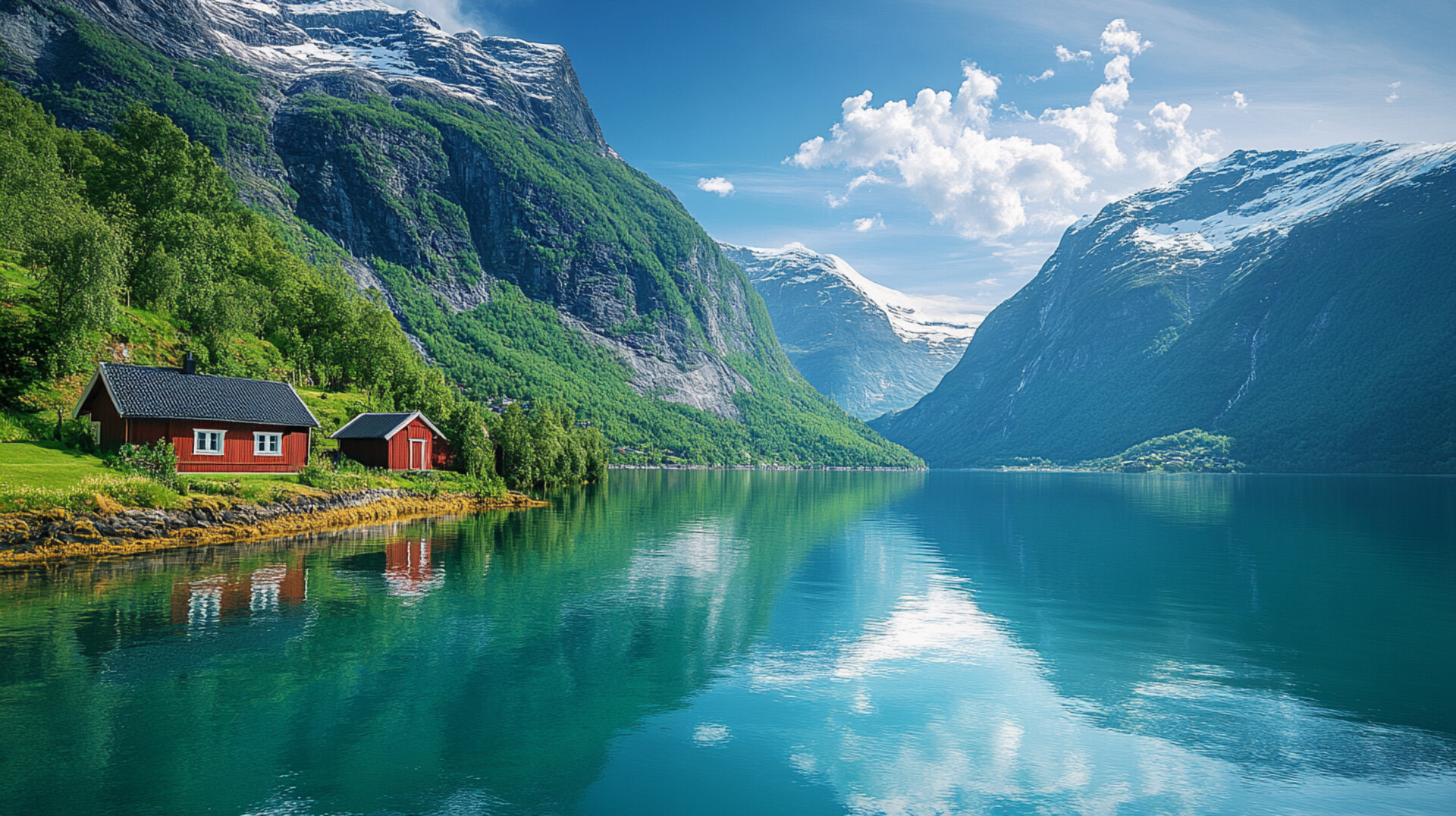
Øyer is Innlandet’s staple-hooked valley basin — a municipality where wooden log rings gleam in the coat of arms, alpine slopes rise from Olympic legacy, and spruce forests stretch toward the elk trails of Tretten. With around 5,100 residents and a landscape shaped by the Gudbrandsdalslågen River, Hafjell, and the villages of Øyer, Tretten, Tingberg, and Granrudmoen, Øyer is the kind of place where you can hike past mountain farms, explore raspberry heritage, and still sip spruce cordial beside a gondola that climbs into the clouds. It’s got slopes, staples, and a name that may stem from *eyrr* — “fertile land by water.”
Top Attractions
- Hafjell Alpinsenter – Olympic ski resort with 31 slopes & 17 lifts
- Lilleputthammer – miniature theme park for kids with 1930s Lillehammer replica
- Moe Gård – raspberry farm with 1700s buildings & local food shop
- Mosetertoppen – hiking hub with pumptrack, views & gondola access
- Hafjell Bike Park – downhill trails with jumps, berms & gondola lift
- Lillehammer Olympic Bob & Luge Track – adrenaline rides on 1994 Olympic course
Unique Experiences
- Hafjell Gondola – 586 vertical meters to Mosetertoppen in 10 minutes
- Elk Safari (Bonus: Guided tour) – guided evening tours to spot moose in Øyerfjellet
- Bringebærsorbet at Moe – homemade raspberry sorbet in a 1780 stabbur
- Storfossen Waterfall – picnic spot with cascading views
- Øyer Church – 1725 stone church with medieval roots
Where to Stay
Search hotels, cabins & guesthouses in Øyer
More searches: Booking.com · Hotels.com · Expedia · Agoda · Vrbo
Where to Eat
Explore top-rated restaurants in Øyer
Guided Tours
Search for guided tours in Øyer
Getting There
Øyer lies in Gudbrandsdalen, with Tingberg as its administrative center and Hafjell as its alpine heart. Reach it via E6 from Lillehammer (15 km), or by train to Øyer Station. The area is best explored by boots, bike, or bold curiosity — especially if you’re chasing staple echoes, fjord lore, or the hush of pine needles beside a slope once carved by Olympic skis.