
Know this place? Share your best photos of Øygarden and help travelers discover Norway. Submit your photos →
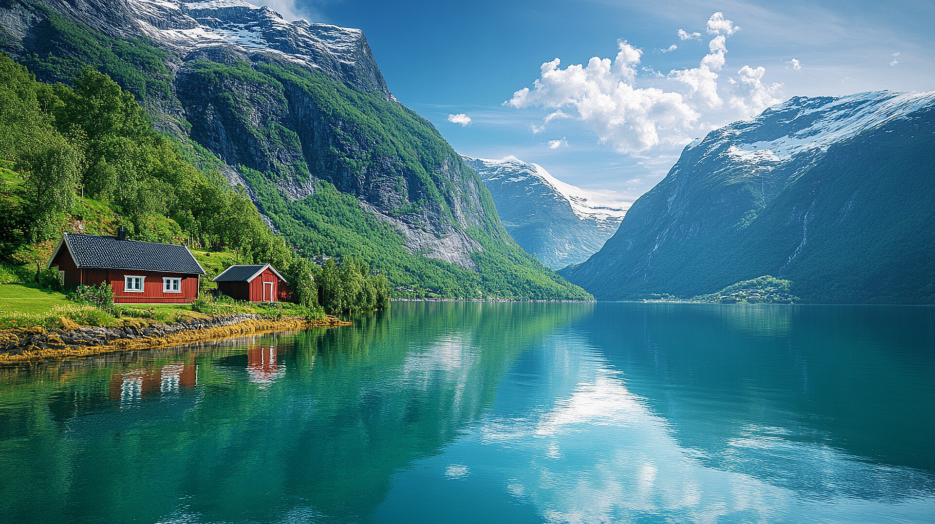
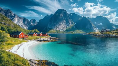
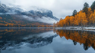
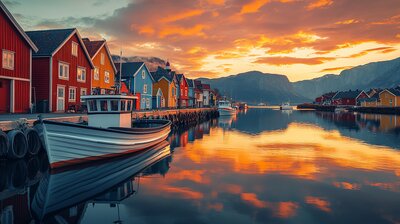
Øygarden is Vestland’s island-laced coastal basin — a municipality where white-tailed eagles soar over fish farms, WWII scars linger in windswept villages, and a silver lighthouse beams across the coat of arms. With around 39,000 residents and a landscape shaped by the North Sea, Sotra archipelago, and the villages of Straume, Ågotnes, Rong, Telavåg, and Glesvær, Øygarden is the kind of place where you can kayak past sea-sculpted reefs, explore aquaculture labs, and still sip spruce cordial beside a café that once traded cod for coffee. It’s got islands, industry, and a name that means “row of islands.”
Top Attractions
- Øygarden Salmon Centre (Bonus: Guided tour) – floating fish farm tours & seafood education
- Coastal Museum – maritime heritage from Ice Age to oil age
- Adnestova – 18th-century homestead with coastal farm history
- Fjell Fortress (Bonus: Guided tour) – WWII tunnels & panoramic hiking trails
- North Sea Traffic Museum – war memorial & Telavåg tragedy exhibition
- Glesvær Café – coastal eatery in historic trading village
Unique Experiences
- Island Hopping – explore Algrøy, Lokøy, Misje & Turøy by boat or bus
- Portal of Life Trail – sculpture walk to Grana with sea views
- Porsvika 125 – seaside café with garden hammocks & beach bathtubs
- Sotra Golf Club – coastal golf course with fjord panoramas
- Storm Watching – dramatic waves & raw nature from Telavåg to Hellesøy
Where to Stay
Search hotels, cabins & guesthouses in Øygarden
More searches: Booking.com · Hotels.com · Expedia · Agoda · Vrbo
Where to Eat
Explore top-rated restaurants in Øygarden
Guided Tours
Search for guided tours in Øygarden
Getting There
Øygarden lies west of Bergen, with Straume as its administrative center and Telavåg as its historic heart. Reach it via Rv555 and Sotra Bridge (45 min from Bergen), or by bus to Ågotnes and Rong. The area is best explored by boots, boat, or bold curiosity — especially if you’re chasing lighthouse echoes, fjord lore, or the hush of pine needles beside a museum that remembers both fish and fire.